
-
Lamkowko Satellite Observatory
Participation in international research projects
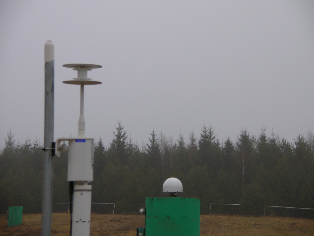
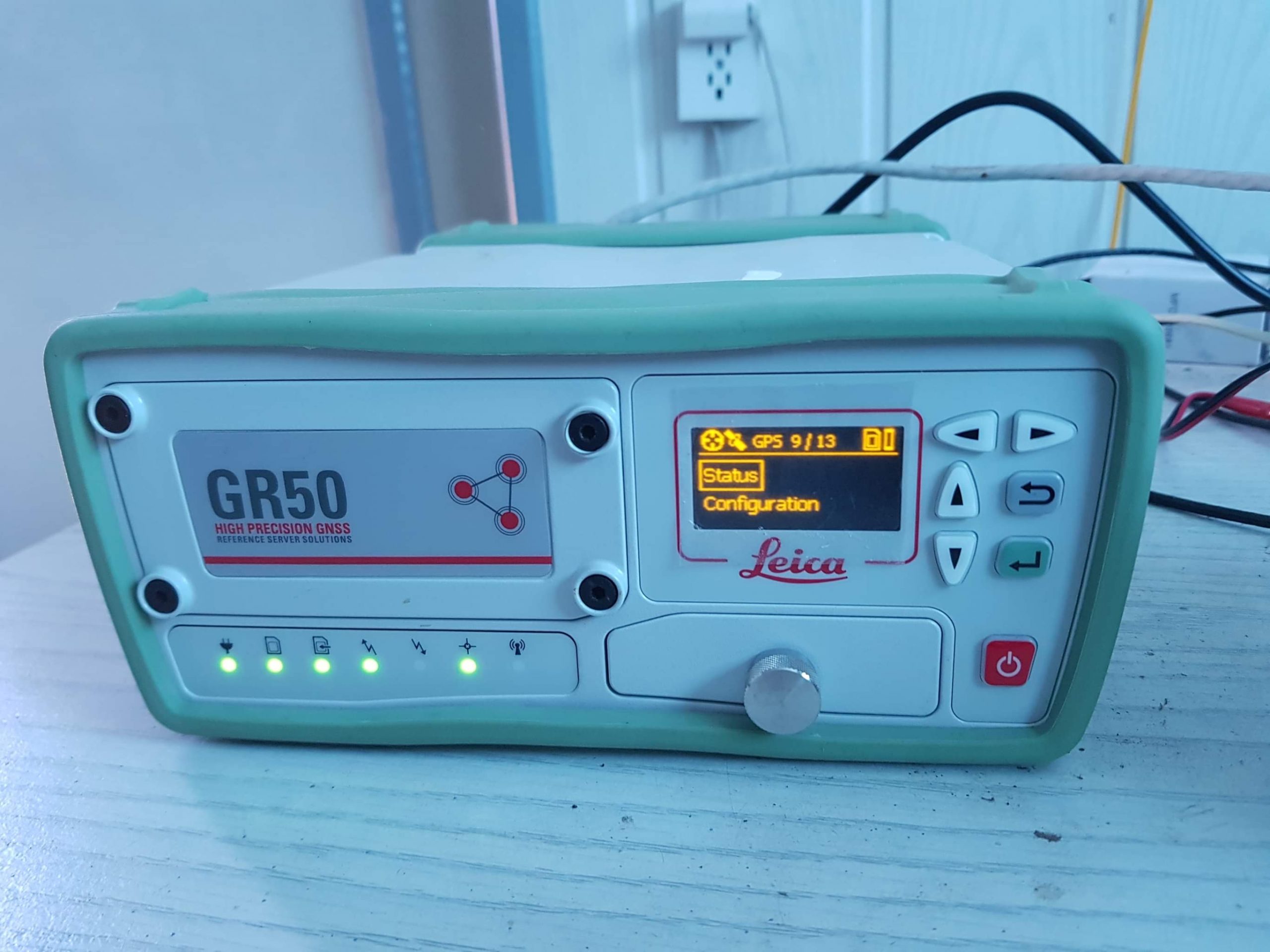
The Lamkówko Satellite Observatory is one of three Polish facilities that, after meeting high international equipment standards, were incorporated into the International GPS Service for Geodynamics (now: International GNSS Service) in 1992. Since 1994, these observatories have been conducting continuous, 24-hour tracking of GNSS satellites (GPS, GLONASS, GALILEO, BEIDOU), transmitting high-resolution observation data in real-time via the Internet to global data collection and processing centers.
Due to the high precision of IGS products, including those generated by the Lamkówko Satellite Observatory, they are utilized in high-accuracy global and regional applications such as:
- Updating and refining the International Terrestrial Reference Frame (ITRF),
- Monitoring and studying Earth’s crustal deformations,
- Tracking the stability of Earth’s rotational motion,
- Observing changes in Earth’s hydrosphere (sea levels, ice sheets),
- Determining precise orbits of GPS, GLONASS, GALILEO, and BEIDOU satellites,
- Monitoring ionospheric conditions,
- Climatological studies, weather forecasting, etc.

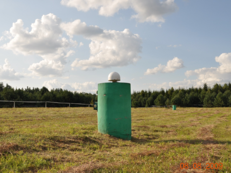
Another significant pan-European program in which the Observatory participates is the EUREF Permanent Network (EPN). Since 1992, the Lamkówko Satellite Observatory has hosted a zero-order European network point numbered 0312, one of 11 points in the EUREF-POL network, designated as LAMA. Continuous GNSS observations have been conducted at this point since December 1, 1994, as part of the IGS program. In 1996, the LAMA station became part of the permanent EPN network. The primary goal of establishing the EPN permanent stations is to monitor the stability and maintain the European Terrestrial Reference Frame (ETRF).
Since 1994, the Lamkówko Satellite Observatory has been one of five Polish points in the CEGRN (Central European GPS Reference Network), established under the international CERGOP (Central European Regional Geodynamics Project) for geodynamic research in Central and Eastern European countries. In 1999, the Central European Initiative (CEI) countries decided to launch an expanded program—CERGOP II. Since then, the Satellite Observatory has continuously participated in both the CERGOP program and CERGOP II campaigns.
In 1997, the Satellite Observatory became a point in the European Unified Vertical Network (EUVN). The Observatory has been participating continuously since 1993 in the Baltic Sea Level Project (BSLP), which supports the needs of the vertical network.
With the establishment of the GNSS Augmentation System ASG–EUPOS in Poland in 2008, serving the national geodetic and cartographic service and various other sectors, the LAMA station, along with other Polish permanent EPN stations, became control points within the national system.
Pomiary grawimetryczne
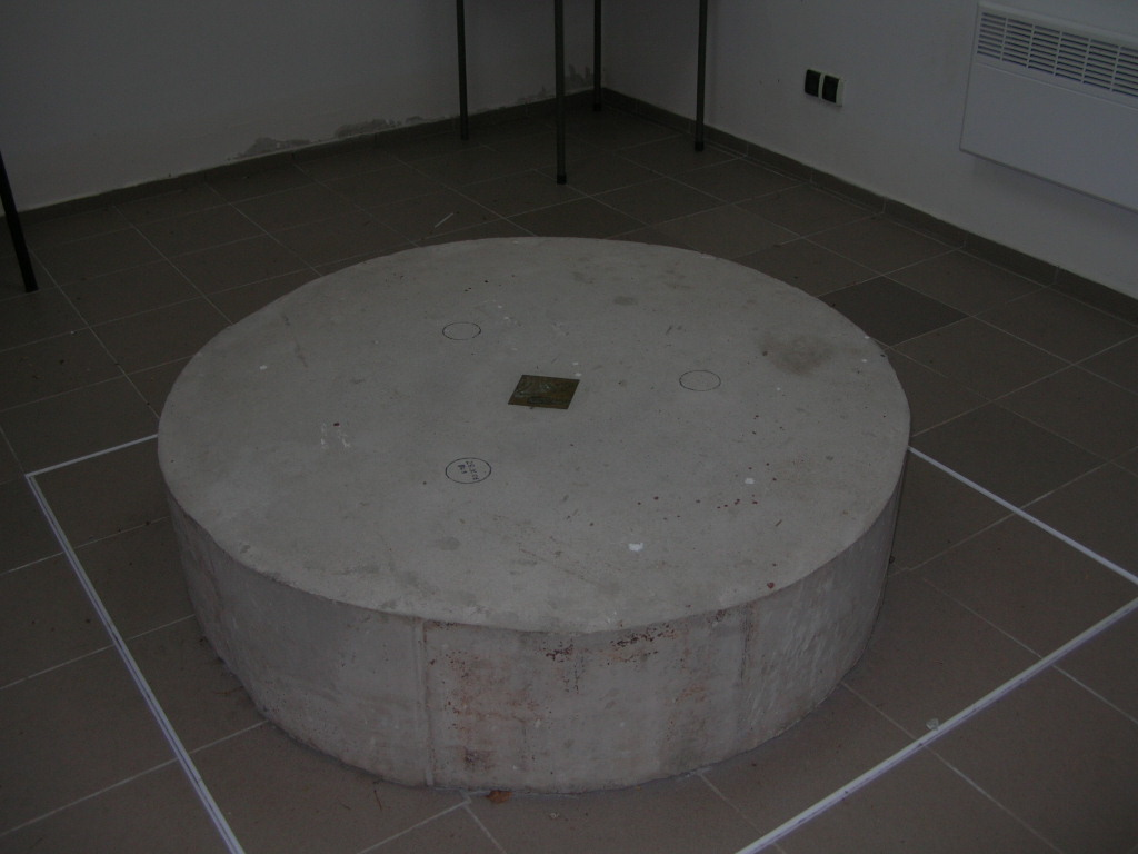
The Observatory also hosts a fundamental point of the national gravimetric control network, where cyclic absolute gravity acceleration measurements are conducted.